
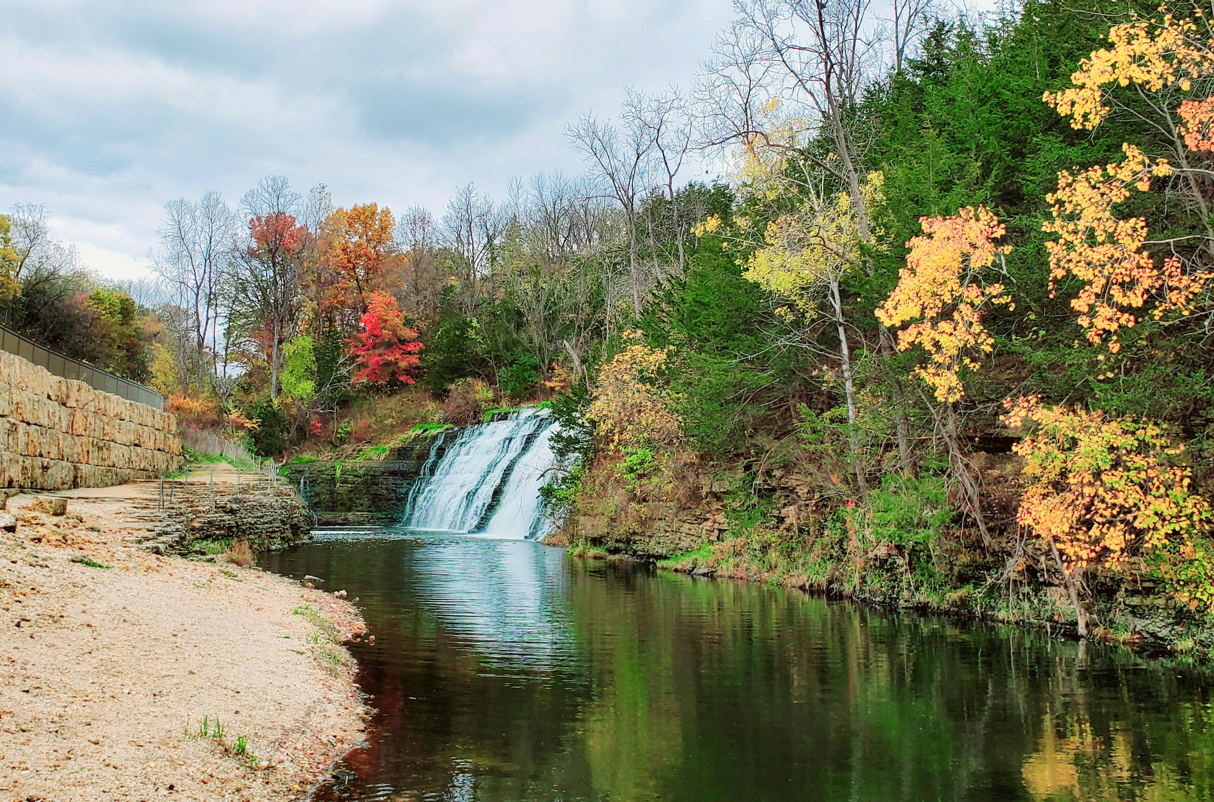
Thunder Bay Falls
|
Dam • 180,000 cubic yards of rock, • 353,000 cubic yards of clay • 1100 feet wide • 280 feet across at the base • 10 feet across at the crest • Water at the dam is about 50 feet deep. • 65,000+ cubic feet of grout Spillway • 600 feet long • 200 feet wide • 40-foot drop to channel |
One of The Galena Territory's most cherished amenities is Lake Galena, a scenic 225-acre man-made lake perfect for anglers and boaters who enjoy observing nature on leisurely cruises. It boasts some of the best fishing in the area, with an abundance of smallmouth and largemouth bass, walleye, bluegill, channel catfish, perch, and tiger muskie. The lake is primarily spring-fed and has a spillway at one end creating a beautiful 40-foot waterfall called Thunder Bay Falls.
The Branigar Organization, Inc., Medinah, Ill., was the developer of The Galena Territory, including Lake Galena, Owners’ Club, Marina, Shenandoah Riding Center, and Eagle Ridge Resort & Spa. Land acquisition occurred from 1970 to 1973. During the acquisition period, the Branigar Organization worked through local, State, and Federal approvals. This included the Smallpox Creek Project permit, issued by the Illinois Department of Transportation, Division of Waterways, Oct. 30, 1972.
The dam was engineered by hydraulic experts Bauer Engineering, Inc., and world-renowned water resources firm Harza Engineering Company (both from Chicago). They designed the Smallpox Creek dam to withstand a 1,000-year flood event.
Construction of Lake Galena started in 1973. Branigar’s crew, led by Dave Stortz, removed the vegetation, bridges, fences, a farmhouse, and many outbuildings and sealed all wells within the entire footprint of Lake Galena, including the side slopes. Additional excavation occurred in several locations to achieve specified depths in the coves. Two roads were vacated to allow for the construction of Lake Galena and its dam: Mount Hope Road (in red) and West Wachter Road (in green) (see aerial photo).
 Ryan Brothers of Janesville, Wis., were hired to build the dam, which included dynamiting a portion of the ridge past the cul-de-sac on Rapids Drive, to form the spillway. The rock was used for the earthen dam construction, which included 353,000 cubic yards of clay fill and 180,000 cubic yards of rock. Grout was pumped into the entire structure to fortify the dam.
When the concrete was poured, but not set, one of the workers carved the initials KBI in letters about three feet tall - standing for Kramer Brothers, Inc. They are on the upright concrete wall against the hill on the dam side. No one quite knows why. Perhaps he thought it would be smoothed before it was set. Attempts to cover them with more concrete were not successful.
As the dam was built, a tube about four feet in diameter was installed under the dam Small Pox Creek ran. This tube can be controlled with a valve that allows water to go under the dam and downstream. The original Small Pox Creek ran more or less along the hillside on the golf course side of the lake.
Riprap is strategically placed rock along the lakeside of the dam, put there to prevent erosion. These rocks extend about 10 feet below the water level.
 The elevation at which Lake Galena would be full was 710 ASL, and at precisely 7 a.m. on Tuesday, April 6, it was there, and then some, as is evidenced by the water cascading over the Spillway.
Dam construction was complete by the end of 1974. The engineers estimated the lake would fill in 18 months—it took just 7 weeks to fill within 3-feet of final capacity! A snowy winter followed by heavy rains on the frozen ground caused water levels to rise very quickly. Workers had to abandon a small bridge and power poles in North Cove! Jo-Carroll Energy later removed the poles and portions of the bridge were unearthed during dredge operations in 2012, now marked by a warning buoy. Water flowed over the spillway for the first time on April 6, 1976.
As reported in the Territory Times: Mark this day on your calendars! On Tuesday, April 6, 1976, at precisely 7 a.m., Lake Galena was full!
Several entries were received for the contest and much enthusiasm was witnessed by many Property Owners driving down to the Dam and Spillway to check on the progress. After careful calculations of runoff, snow conditions, water tables, Winter thaw, and of course, A LITTLE LUCK, fourteen Property Owners were within 19 days of the actual event. In first place was Ralph Mansfield with April 6 at 6 a.m.
Once the lake held water, potential property owners were given a pontoon boat ride to view the lake, but they didn't board the boats at the present marina. In that first summer, you drove down Wachter Road, which was more of a lane than a road, to the bottom of a hill where the 11th fairway is now. Of course, this was before the golf course or the Inn were built so the road stopped at the water's edge.
Lake Galena is kept filled with run-off water and springs. The excess continues downstream both by the spillway and the tube under the dam. The lake is a form of a reservoir. It drains a watershed area of 10,880 acres. There should not be any difficulty in keeping the lake full of water even in the driest times.
The Illinois Department of Natural Resources – Office of Water Resources, has jurisdiction over dam maintenance and safety. Inspections occur monthly and during high flow events and an annual inspection is performed by a professional engineer. Repairs and corrections are made as needed, to maintain the required performance standards.
Inspections following the historic flooding in 2011 revealed moderate damage to the spillway apron: cavitation caused by the high flow event removed soft limestone immediately downstream from the apron. Repairs were made in 2012.
